 Ship Inspection
Route Planning Added to Marine Navigatio
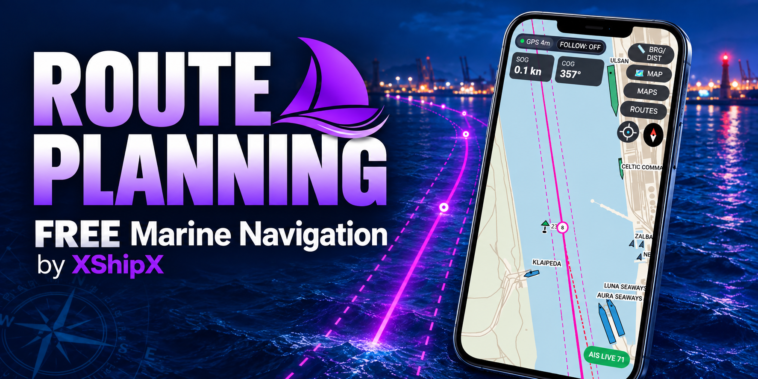
Marine Navigation now includes a complete but deliberately simple route-planning system for creating, saving and following routes directly on an offline .ppmap map.
The goal was not to turn the app into a complicated charting system.
Instead, we wanted route planning to feel like a natural extension of the navigation screen that was already there.
The result is a lightweight route layer that works alongside device GPS, offline maps and public AIS without changing the underlying .ppmap format.
Create routes directly on the map
A new ROUTES control is available from the navigation screen.
To create a route, simply start a new route and tap positions on the map.
Each tap creates a waypoint immediately.
Waypoints can also be entered manually using exact decimal latitude and longitude coordinates.
A route can contain custom waypoint names, for example:
PILOT
TURN 1
BREAKWATER
BERTH
If no name is entered, Marine Navigation simply uses WP1, WP2, WP3 and so on.
Existing waypoints can be edited, moved to another map position or deleted.
Route information before starting
A saved route can be inspected before navigation begins.
ROUTE INFO shows the total route distance together with the course and distance of each individual leg.
For example:
Bari Approach
4 waypoints

Total distance: 6.82 NM

PILOT → TURN 1
083°T
1.42 NM

TURN 1 → WP3
061°T
2.10 NM
This makes it possible to review the planned route without activating it.
Start forward or reverse
Routes can be started in either direction:
- START FORWARD
- START REVERSE
Reverse navigation does not modify the saved route.
It simply reverses the waypoint sequence for the current navigation session.
This is useful for routes that may be used both inbound and outbound.
Live waypoint navigation
When a route is active, Marine Navigation continuously calculates navigation information from the device GPS.
The active waypoint is highlighted in green, while the planned route remains visible in magenta.
The navigation panel shows the most important information:
WP2   BRG 282°   DST 0.03
XTD 10m PORT     TTG --
The compact panel was designed to use the same visual style as the existing SOG and COG instruments.
It can be expanded when more information or controls are needed and collapsed again when the map should remain as clear as possible.
The panel can also be moved to a convenient place on the screen, with separate positions remembered for portrait and landscape orientation.
Automatic or manual waypoint switching
Waypoint changes can be handled manually or automatically.
In MANUAL mode, the navigator selects the next waypoint using NEXT WP.
In AUTO mode, Marine Navigation advances when the vessel enters the selected waypoint arrival zone.
The arrival radius can be adjusted from:
0.005 NM
to
0.200 NM
with a default of:
0.030 NM
Additional protection prevents several closely spaced waypoints from being skipped immediately if the vessel is already inside more than one arrival zone.
Cross-track distance – XTD
Route navigation also includes optional cross-track distance monitoring.
When enabled, dashed lines are drawn alongside the planned route to create a visual corridor.
The corridor width is adjustable, with a default half-width of:
±50 m
Live XTD is then shown on the route panel:
XTD 18 m STBD
or:
XTD 7 m PORT
This gives a quick indication of how far the vessel is from the planned route leg and on which side.
Share routes with another user
One of the most useful additions is the new portable route format:
.pproute
A route created in Marine Navigation can be exported as a .pproute file and sent to another user by email, messaging app, cloud storage or any normal file-sharing method.
The other user can then import the route directly into the app.
The portable file contains only the route itself:
- route name
- waypoint names
- latitude
- longitude
Local navigation preferences such as XTD width, automatic waypoint switching and display settings are not included.
If a route with the same name already exists, Marine Navigation does not overwrite it. The imported route is automatically renamed, for example:
Bari Pilot Route
Bari Pilot Route (2)
Marine Navigation and Pilot Plug use the same route format
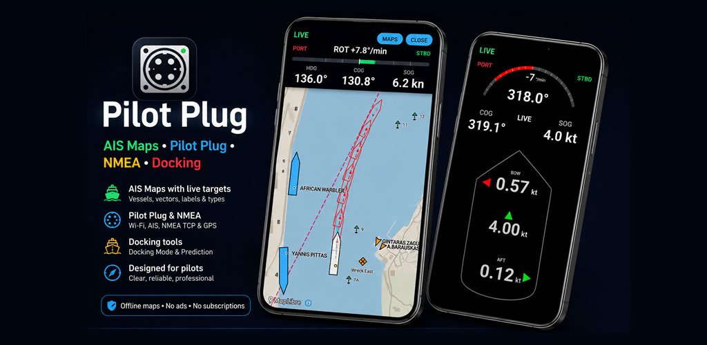
The .pproute format is also being used by the Pilot Plug app.
This means a route can be prepared in Marine Navigation and transferred to Pilot Plug, or the other way around.
Just as both applications already share the same .ppmap map ecosystem, they can now share route files as well.
The difference is in the navigation source.
Marine Navigation uses the Android device GPS, while Pilot Plug can use external GNSS, NMEA, Pilot Plug data and other professional navigation inputs.
The route itself remains the same.
Built-in limits for reliability
To keep route handling lightweight and predictable, Marine Navigation uses practical limits:
- maximum 100 saved routes
- maximum 200 waypoints per route
- minimum 2 waypoints per route
Imported route files are also checked before being accepted.
Coordinates, waypoint counts, route names and file size are validated so malformed or excessively large route files cannot be loaded directly into the navigation system.
Optional own-ship trail
Marine Navigation also now includes a simple optional 20-minute own-ship trail.
When enabled, recent GPS movement is drawn behind the vessel.
The feature is intentionally simple: just ON or OFF.
It is designed as an additional situational-awareness aid rather than another complex settings system.
Keeping navigation simple
Throughout development, the main objective was to avoid turning Marine Navigation into a complicated electronic chart system.
The existing interface was kept intact.
Route planning appears only when it is needed, and the navigation panel can remain compact during normal operation.
The same principle applies to maps.
Routes are stored separately from .ppmap files, so creating or editing a route never changes the map package itself.
A .ppmap remains a map.
A .pproute remains a route.
This separation also makes both formats easier to create, share and reuse.
A small note
Marine Navigation is designed as a situational-awareness and navigation-assistance tool.
It is not an approved primary navigation system and does not replace official charts, certified navigation equipment, proper lookout or normal bridge procedures.
Route planning, AIS information, GPS positions, XTD and other displayed information should always be interpreted together with appropriate official navigational sources and equipment.
Marine Navigation by XShipX
https://play.google.com/store/apps/details?id=com.xshipx.navigation
Offline maps. Device GPS. Public AIS where available. Simple route planning.
And now, routes can travel with you too.