 Ship Inspection
What if the best local marine map was made by someone who actually knows the area?
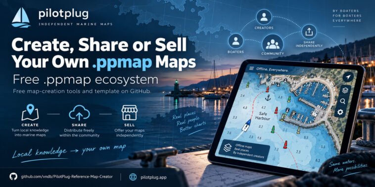
The “.ppmap ecosystem is free”.
Anyone can create their own offline `.ppmap` maps using our “free map-creation tools and templates available on GitHub”, then use those maps with compatible apps such as “Marine Navigation” and “Pilot Plug”.
There is no need to buy special map-making software from us and no requirement to publish your map through us.
You create the map.
You decide what to do with it.
You can:
• create a `.ppmap` for your local harbour, marina, coastline or boating area
• add useful local information
• use it privately
• share it freely with your club or community
• publish it on your own website or profile
• or “sell your `.ppmap` maps yourself”
For example, a creator in Greece could make detailed maps of local harbours.
Someone in the Philippines could create maps for islands and coastal areas they know well.
A marina could publish its own map showing approaches, berths and facilities.
A sailing or fishing community could build maps containing useful local information that may not exist on general-purpose maps.
The idea is simple:
“Free tools → local knowledge → your own `.ppmap` → share it or sell it yourself.”
We do not want to control who creates the maps or become the mandatory marketplace.
Our goal is to build a “free `.ppmap` ecosystem” where people with local knowledge can create useful maps and distribute them in whatever way works best for them.
Start creating
“Free .ppmap Reference Map Creator on GitHub:”
https://github.com/vndb/PilotPlug-Reference-Map-Creator
“Instructions, examples and more information:”
https://pilotplug.app
The GitHub project includes the free tools and template needed to start building your own `.ppmap` maps.
If you know your local waters better than anyone else, maybe your next map should be a `.ppmap`.
A small note: .ppmap is a flexible map format for creating and sharing your own maps. When publishing a map, use data that you are allowed to reuse and redistribute – for example, open government data, OpenStreetMap, your own surveys, or other properly licensed sources. Do not copy data from copyrighted commercial or official charts unless you have permission to do so.
#PPMAP #MarineNavigation #PilotPlug #OfflineMaps #MarineMaps #Boating #Sailing #MapMaking #OpenEcosystem #MaritimeTechnology