 Ship Inspection
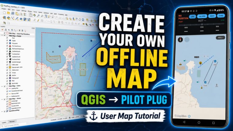
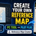
Learn how to create your own custom offline map for the Pilot Plug Android app using the free Pilot Plug User Map Authoring Kit and QGIS.
This step-by-step tutorial shows the complete workflow:
Install and set up the Pilot Plug User Map Authoring Kit Configure your map area and geographic boundaries
Automatically generate the OpenStreetMap offline basemap Open the project in QGIS Add your own buoys, waypoints, depths, wrecks, pilot marks and labels
Create recommended tracks, leading lines and reference lines Add anchorage, restricted, caution and operational areas Save your QGIS edits correctly
Build the final .ppmap offline map package Import the finished map into Pilot Plug on Android
The basemap source is selected automatically from your chosen geographic bounds, so users do not need to know Geofabrik area names.
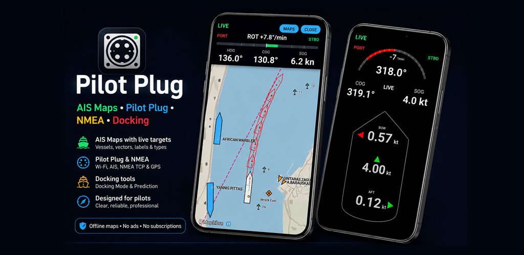
Once the .ppmap has been imported into Pilot Plug, the User Map can operate offline without an internet connection.
Pilot Plug User Maps are designed for custom reference and operational information. They are not official electronic navigational charts and do not replace approved charts, ECDIS, radar, official navigation equipment or professional judgement.
Pilot Plug: https://pilotplug.app
Quick support: https://www.facebook.com/pilotplug